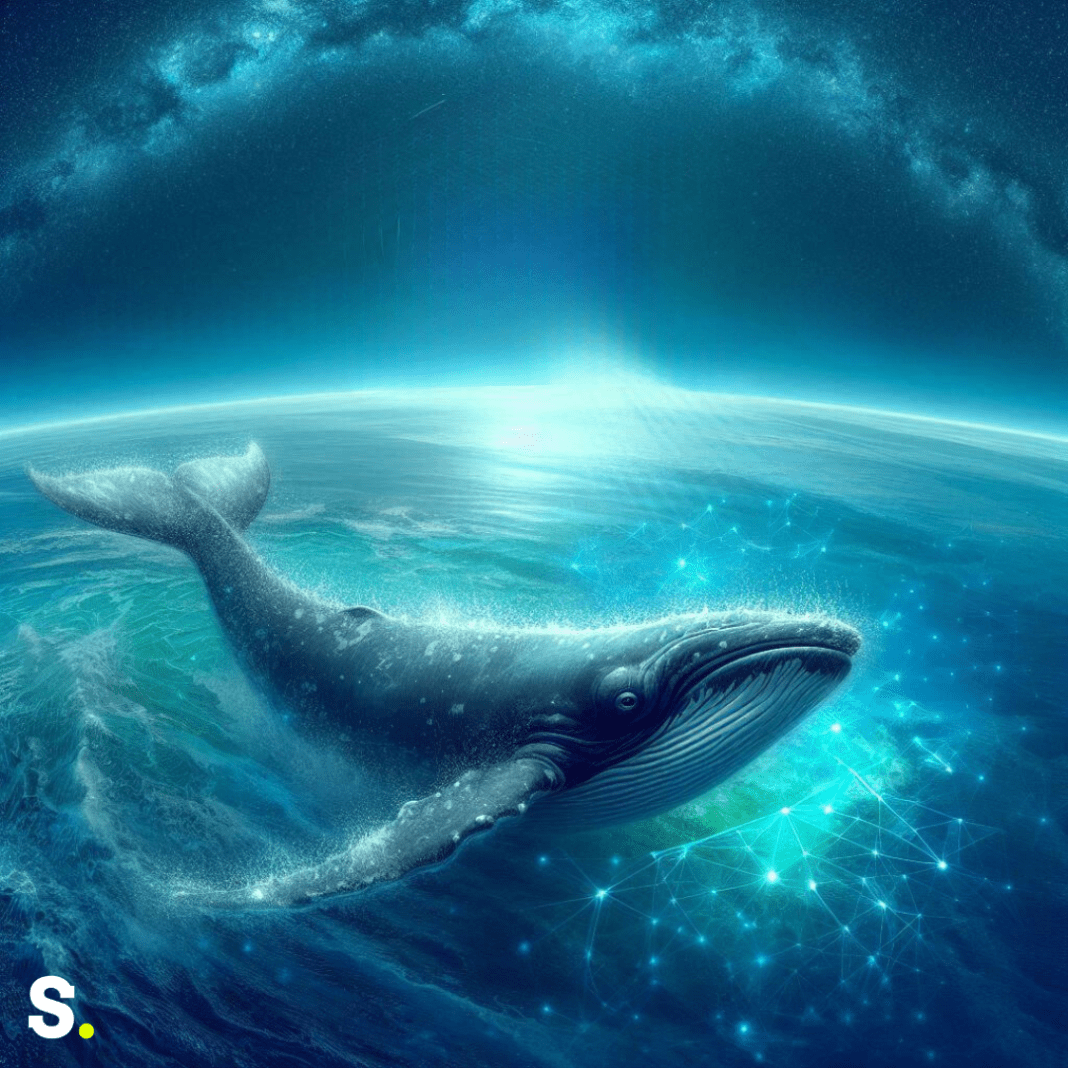
Satellites in space are playing a vital role in safeguarding one of the ocean’s most vulnerable creatures, the North Atlantic right whale (NARW). These whales, once abundant in the Atlantic Ocean, are now endangered, with only a few hundred individuals remaining. They face significant threats from human activities, such as fishing and shipping, which can lead to fatal collisions or entanglement in fishing gear. To combat these dangers, the Canadian Space Agency, in collaboration with Fisheries and Oceans Canada and Transport Canada, launched the smartWhales initiative. This initiative harnesses the power of satellite data to protect these majestic creatures by gaining a deeper understanding of their behavior and predicting their movements in the vast ocean.
Understanding Whale Habitats with Technology
The smartWhales initiative is centered around two key tasks: detecting and monitoring the whales and predicting their movements to prevent potential risks. One of the projects under this initiative is led by the company Arctus, which has developed an innovative approach to understanding the habitats of these whales. By utilizing satellite images, Arctus has created detailed maps that show where zooplankton, the tiny organisms that whales feed on, are most likely to be found. These maps are then combined with prediction models to anticipate where the whales might be at any given time.
Satellite images play a crucial role in enhancing these habitat prediction models by providing detailed insights into ocean conditions. For instance, variations in water color, often caused by the presence of phytoplankton (a primary food source for zooplankton), can indicate where whales are likely to be found. This valuable information is shared with fishers and authorities, enabling them to make informed decisions that help reduce the risks to the whale. For example, fishers might avoid certain areas where whales are known to be feeding, reducing the chances of accidental entanglement.
Innovative Detection and Monitoring of Whales
Another groundbreaking project within the smartWhales initiative is being conducted by Global Spatial Technology Solutions (GSTS). This company has developed an advanced system called OCIANATM, which leverages satellite data to detect and monitor the presence of North Atlantic right whales. The OCIANATM platform integrates data from various satellite sources and uses artificial intelligence to analyze and predict whale locations. This information is then used to help ship operators and ports adjust their routes, minimizing the risk of collisions with these endangered animals.
The OCIANATM system is designed to be highly responsive, allowing for real-time detection and monitoring of whale. It uses intelligent tasking based on habitat quality models and vessel traffic patterns to determine the most effective times and locations for acquiring satellite imagery. This imagery is automatically processed to identify potential whale sightings, which are then cross-referenced with other data sources to ensure accuracy. By predicting where whales are likely to be based on the availability of their food sources, such as specific types of zooplankton, OCIANATM helps vessels navigate safely through whale habitats.
Additionally, GSTS has developed a dynamic whale risk model that incorporates environmental data and vessel path prediction tools. This model provides seafarers with critical information about potential collision risks, enabling them to adjust their speed or route to avoid harming the whale. By offering real-time recommendations for vessel movements, OCIANATM helps protect these endangered creatures while ensuring that maritime operations continue smoothly.
Quick Whale Detection Using Artificial Intelligence
Monitoring large ocean areas to protect whales is a daunting task, but Hatfield, another company involved in the smartWhales initiative, has developed a solution that makes it much more manageable. Hatfield has created a space-based detection system (SBDS) that uses artificial intelligence to rapidly identify potential whale locations in satellite images. This system is particularly effective in vast areas like the Gulf of St. Lawrence, where it is challenging to monitor whale movements manually.
The SBDS system works by analyzing large satellite images and highlighting only the sections where it detects possible whales. This reduces the area that needs to be checked by human operators by 98%, significantly speeding up the process. In a test conducted over a 2,000 km² area, the SBDS system successfully identified 75% of the whales in the satellite images. Even more impressive is the system’s ability to complete this task in just a few hours, compared to the days or weeks it would take for a human to do the same work.
The system also saves the locations of detected whales and displays them on an interactive map, making it easier for authorities and researchers to track their movements. The SBDS is versatile and can detect whales in various water conditions and locations around the world. As a matter of fact, it located in the Gulf of St. Lawrence what is perhaps the first North Atlantic right whale ever captured on camera. By providing timely and accurate information, Hatfield’s system helps prevent collisions with ships and reduces the risk of whales getting caught in fishing gear.
The smartWhales initiative showcases the power of technology and innovation in conservation efforts. By combining satellite data with cutting-edge tools like artificial intelligence, these projects are making significant strides in protecting the North Atlantic right whale. Through these efforts, Canada is leading the way in ensuring that this endangered species has a chance to thrive in the ocean, despite the challenges posed by human activities.


