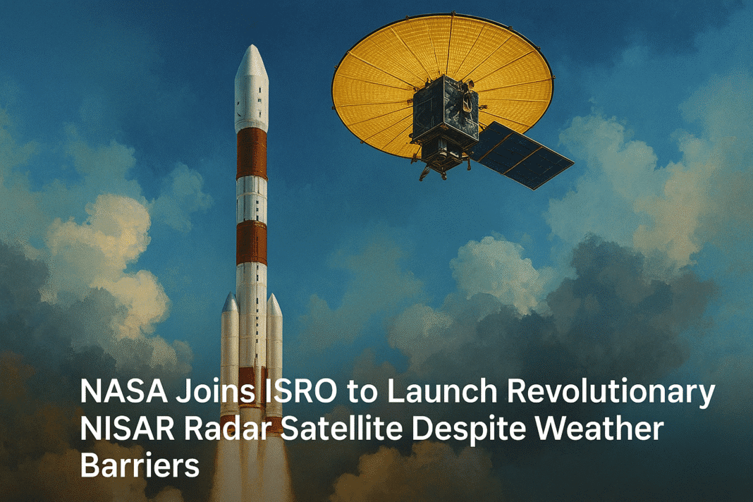
NASA and the Indian Space Research Organisation (ISRO) are about to launch a groundbreaking satellite that can monitor Earth’s surface with incredible accuracy.
A Giant Leap in Earth Observation
This new satellite, named NISAR (short for NASA-ISRO Synthetic Aperture Radar), is expected to lift off from Satish Dhawan Space Centre near Chennai on June 18.
NISAR is a massive device with a 12-meter-wide radar antenna and weighs close to 3 tons. It has taken over 10 years to develop and has cost about $1.5 billion, making it one of the most expensive Earth-observing satellites ever built.
What makes NISAR different from other satellites is its ability to see through clouds, smoke, and even darkness. Most satellites rely on sunlight to take pictures of Earth, which means they cannot work well at night or when it’s cloudy. But NISAR uses a special radar called Synthetic Aperture Radar (SAR). SAR works like a flashlight—it sends out radar waves and captures the reflections, allowing it to image the Earth anytime, in any weather.
Volcano Found on Mars in Area Thought Fully Explored—NASA Left Stunned
The satellite will cover nearly the entire planet, sending back clear, high-quality images every 12 days. These images will help track changes in land, forests, water, and even underground movements.
Understanding How NISAR Sees the Unseen
The SAR technology used in NISAR was originally invented in 1951 for military purposes, but today it’s a valuable tool in science. Unlike traditional satellites that take pictures using sunlight, SAR satellites actively send radar signals to Earth and read how those signals bounce back.
This method allows NISAR to see through clouds, smoke from fires, and even volcanic ash. It also works at night, which makes it highly useful during emergencies such as floods, earthquakes, or forest fires when quick information is needed.
Radar signals from NISAR can even pass through thick forests, helping scientists understand what’s underneath the trees. It can measure how much water is in the soil, detect floods hidden under vegetation, and even observe small shifts in the ground—down to a few centimetres or less. These tiny shifts are important clues that can show if an area is sinking, swelling with underground water, or moving due to an earthquake.
NISAR will be the first satellite to use two radar frequencies. This allows it to collect more detailed and accurate data compared to other satellites like the European Space Agency’s Sentinel-1.
India Unveils Secret Space Shield to Thwart Global Espionage by 2026
NISAR’s data will be freely accessible to scientists, disaster relief organizations, and even farmers. It will be shared openly around the world, helping many countries respond to natural events faster and more effectively.
How NISAR Will Help People and the Planet
NISAR will have a big impact on how we understand and take care of our planet. It will be used for many purposes, including:
- Tracking natural disasters: The satellite can quickly map areas affected by earthquakes, landslides, floods, and volcanic eruptions. This helps rescue teams plan better and save lives.
- Measuring ground movement: Even small movements of Earth’s surface can signal a risk, like a crack in a dam or a shifting fault line. NISAR can detect such changes very precisely.
- Monitoring forests: It will estimate how much carbon and biomass (the weight of plants and trees) is stored in forests. This is important for understanding climate change and preserving nature.
- Watching over wetlands: These water-rich lands are full of biodiversity and store a lot of carbon. NISAR’s radar can see flooded vegetation, giving a clear picture of the health of wetlands.
- Helping farmers: By checking soil moisture levels, NISAR can guide farmers on when to irrigate crops. This helps save water and grow healthier plants, even when clouds or rain make it hard to see from space.
- Tracking glaciers and ice sheets: NISAR will also observe the movement of ice in places like Antarctica. This is key to understanding how much ice is melting and how it affects sea levels.
- Protecting coastlines: It will monitor coastal erosion and oil spills, providing real-time data to protect marine life and communities living near the ocean.
From Space with Malice: China’s Satellites Tipped the Balance in India-Pakistan War
The NISAR mission is a rare and powerful collaboration between two space giants—NASA and ISRO. With its unique technology and wide range of applications, this satellite will provide critical information for managing disasters, protecting nature, and supporting farmers.
By bringing radar data to the world with high precision and speed, NISAR stands out as a first-of-its-kind mission in the history of Earth observation. Additionally, its launch will be a significant turning point in US-Indian space collaboration.


